
KMP ILE MANDIRI
/ Ferry, IMO 8943064
Where is the vessel?
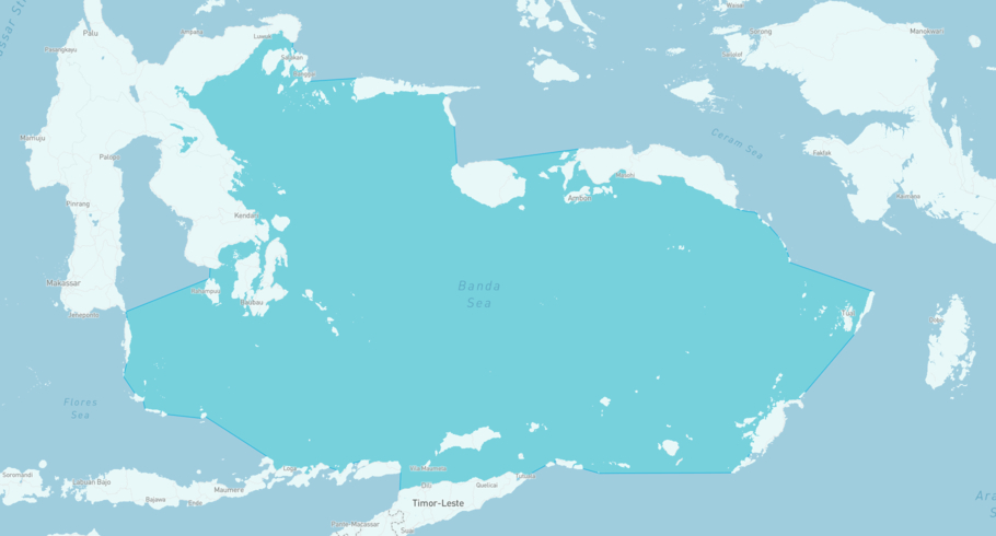
KMP ILE MANDIRI is currently in the Banda Sea, based on AIS data received more than 12h ago. Track KMP ILE MANDIRI live using high-quality AIS by registering a free account in ShipAtlas by Maritime Optima.
Track live positionWhat type of vessel is this?
KMP ILE MANDIRI (IMO 8943064) is a /Ferry vessel built in 1992 and is sailing under the flag of Indonesia. She has an overall length (LOA) of 45 meters and a width (beam) of meters. Her summer deadweight capacity is 125 tonnes.
Current voyage information
Register for free to view live position, current speed, draft, course and navigational status.
Last port calls
| Port name | Arrival time | Departure time |
|---|---|---|
|
Kalabahi (id)
|
Sunday 15th March | Friday 20th March |
|
Surabaya (id)
|
Monday 17th November | Wednesday 10th December |
|
Kalabahi (id)
|
Monday 31st March | Friday 4th April |
Frequently asked questions
Where is KMP ILE MANDIRI right now?
The current position of KMP ILE MANDIRI in the the Banda Sea, last seen more than 12h ago.
What type of vessel is KMP ILE MANDIRI?
KMP ILE MANDIRI is a classified as a Ferry.
How big is KMP ILE MANDIRI?
KMP ILE MANDIRI is 45 meters long (LOA) and meters wide (beam).
Vessel details
| Name | KMP ILE MANDIRI |
| Vessel type | / Ferry |
| IMO | 8943064 |
| MMSI | 525019440 |
| Callsign | YEYU |
| Flag | Indonesia |
| Year built | 1992 |
| Deadweight (DWT) | 125 tonnes |
| Length overall (LOA) | 45 meters |


