
GIS THUNDER
Oil service / PSV, IMO 8878855
Where is the ship?
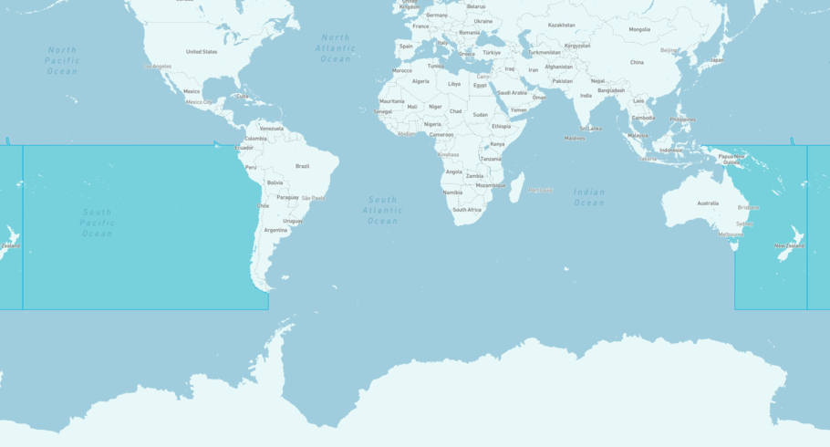
GIS THUNDER is currently in the South Pacific Ocean, based on AIS data received less than 1h ago. Track GIS THUNDER live using high-quality AIS by registering a free account in ShipAtlas by Maritime Optima.
Track live positionWhat type of ship is this?
GIS THUNDER (IMO 8878855) is a Oil service/PSV ship built in 1981 and is sailing under the flag of United States. She has an overall length (LOA) of 34 meters and a width (beam) of meters. Her summer deadweight capacity is 752 tonnes.
Current voyage information


Register for free to view live position, current speed, draft, course and navigational status.
Last port calls
| Port name | Arrival time | Departure time |
|---|---|---|
|
Paita (pe)
|
Wednesday 23rd April | Tuesday 6th May |
|
Talara (pe)
|
Friday 11th April | Wednesday 23rd April |
 Amador Cruise Port (pa)
|
Thursday 6th March | Friday 4th April |
Frequently asked questions
Where is GIS THUNDER right now?
The current position of GIS THUNDER in the the South Pacific Ocean, last seen less than 1h ago.
What type of ship is GIS THUNDER?
GIS THUNDER is a Oil service classified as a PSV.
How big is GIS THUNDER?
GIS THUNDER is 34 meters long (LOA) and meters wide (beam).
Vessel details
| Name | GIS THUNDER |
| Vessel type | Oil service / PSV |
| IMO | 8878855 |
| MMSI | 367175050 |
| Callsign | WDH2510 |
| Flag | United States |
| Year built | 1981 |
| Deadweight (DWT) | 752 tonnes |
| Length overall (LOA) | 34 meters |


