
GEO RESOLUTION
/ Research, IMO 8835243
Where is the ship?
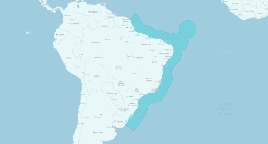
GEO RESOLUTION is currently in the Brazilian Exclusive Economic Zone, based on AIS data received less than 1h ago. Track GEO RESOLUTION live using high-quality AIS by registering a free account in ShipAtlas by Maritime Optima.
Track live positionWhat type of ship is this?
GEO RESOLUTION (IMO 8835243) is a /Research ship built in 1989 and is sailing under the flag of Marshall Islands. She has an overall length (LOA) of 67 meters and a width (beam) of 13 meters. Her summer deadweight capacity is 718 tonnes.
Current voyage information


Register for free to view live position, current speed, draft, course and navigational status.
Last port calls
| Port name | Arrival time | Departure time |
|---|---|---|
|
Fortaleza (br)
|
Sunday 16th November | Monday 24th November |
|
Charleston (us)
|
Saturday 18th October | Wednesday 22nd October |
|
Charleston (us)
|
Friday 25th July | Monday 15th September |
Frequently asked questions
Where is GEO RESOLUTION right now?
The current position of GEO RESOLUTION in the the Brazilian Exclusive Economic Zone, last seen less than 1h ago.
What type of ship is GEO RESOLUTION?
GEO RESOLUTION is a classified as a Research.
How big is GEO RESOLUTION?
GEO RESOLUTION is 67 meters long (LOA) and 13 meters wide (beam).
Vessel details
| Name | GEO RESOLUTION |
| Vessel type | / Research |
| IMO | 8835243 |
| MMSI | 538005923 |
| Callsign | V7IE2 |
| Flag | Marshall Islands |
| Year built | 1989 |
| Deadweight (DWT) | 718 tonnes |
| Length overall (LOA) | 67 meters |
| Width (beam) | 13 meters |


