
HARVEST CAP NORD
/ Fishing, IMO 8714334
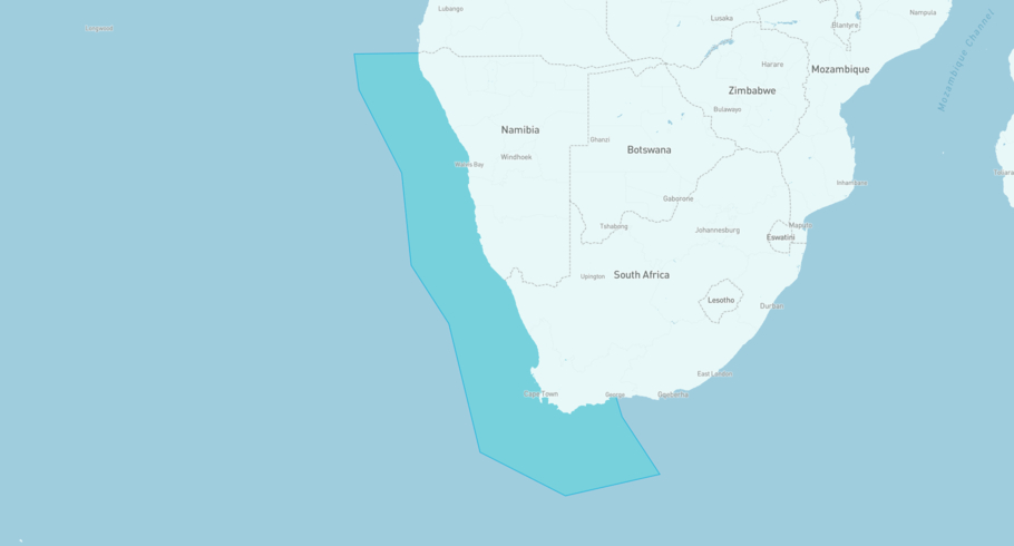
Where is the vessel?
HARVEST CAP NORD is currently in the South Africa - West, based on AIS data received less than 1h ago. Track HARVEST CAP NORD live using high-quality AIS by registering a free account in ShipAtlas by Maritime Optima.
Track live positionWhat type of vessel is this?
HARVEST CAP NORD (IMO 8714334) is a /Fishing vessel built in 1988 and is sailing under the flag of South Africa. She has an overall length (LOA) of 55 meters and a width (beam) of 13 meters. Her summer deadweight capacity is 700 tonnes.
Current voyage information
Register for free to view live position, current speed, draft, course and navigational status.
Last port calls
| Port name | Arrival time | Departure time |
|---|---|---|
|
Saldanha Bay (za)
|
Sunday 19th July | Friday 24th July |
|
Saldanha Bay (za)
|
Thursday 9th July | Thursday 9th July |
|
Saldanha Bay (za)
|
Thursday 18th June | Sunday 21st June |
Frequently asked questions
Where is HARVEST CAP NORD right now?
The current position of HARVEST CAP NORD in the the South Africa - West, last seen less than 1h ago.
What type of vessel is HARVEST CAP NORD?
HARVEST CAP NORD is a classified as a Fishing.
How big is HARVEST CAP NORD?
HARVEST CAP NORD is 55 meters long (LOA) and 13 meters wide (beam).
Vessel details
| Name | HARVEST CAP NORD |
| Vessel type | / Fishing |
| IMO | 8714334 |
| MMSI | 601023250 |
| Callsign | ZS8739 |
| Flag | South Africa |
| Year built | 1988 |
| Draft (summer) | 5.8 meters |
| Deadweight (DWT) | 700 tonnes |
| Length overall (LOA) | 55 meters |
| Width (beam) | 13 meters |


