
TB LL MASERATII
/ Tug, IMO 8669565
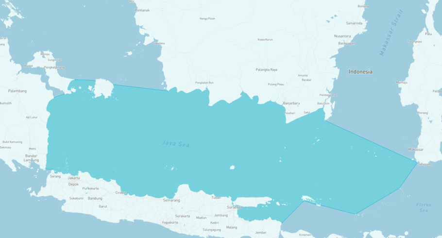
Where is the ship?
TB LL MASERATII is currently in the Jawa Sea, based on AIS data received less than 1h ago. Track TB LL MASERATII live using high-quality AIS by registering a free account in ShipAtlas by Maritime Optima.
Track live positionWhat type of ship is this?
TB LL MASERATII (IMO 8669565) is a /Tug ship built in 2012 and is sailing under the flag of Indonesia. She has an overall length (LOA) of 22 meters and a width (beam) of 6 meters. Her summer deadweight capacity is unknown.
Current voyage information

Register for free to view live position, current speed, draft, course and navigational status.
Last port calls
| Port name | Arrival time | Departure time |
|---|---|---|
|
Singapore (sg)
|
Sunday 5th October | Monday 6th October |
|
Jambi (id)
|
Monday 29th September | Friday 3rd October |
|
Tanjung Priok (id)
|
Friday 19th September | Thursday 25th September |
Frequently asked questions
Where is TB LL MASERATII right now?
The current position of TB LL MASERATII in the the Jawa Sea, last seen less than 1h ago.
What type of ship is TB LL MASERATII?
TB LL MASERATII is a classified as a Tug.
How big is TB LL MASERATII?
TB LL MASERATII is 22 meters long (LOA) and 6 meters wide (beam).
Vessel details
| Name | TB LL MASERATII |
| Vessel type | / Tug |
| IMO | 8669565 |
| MMSI | 525022168 |
| Callsign | YDB4206 |
| Flag | Indonesia |
| Year built | 2012 |
| Length overall (LOA) | 22 meters |
| Width (beam) | 6 meters |


