
KM.MADANI NUSANTARA
/ Ferry, IMO 8010972
Where is the vessel?
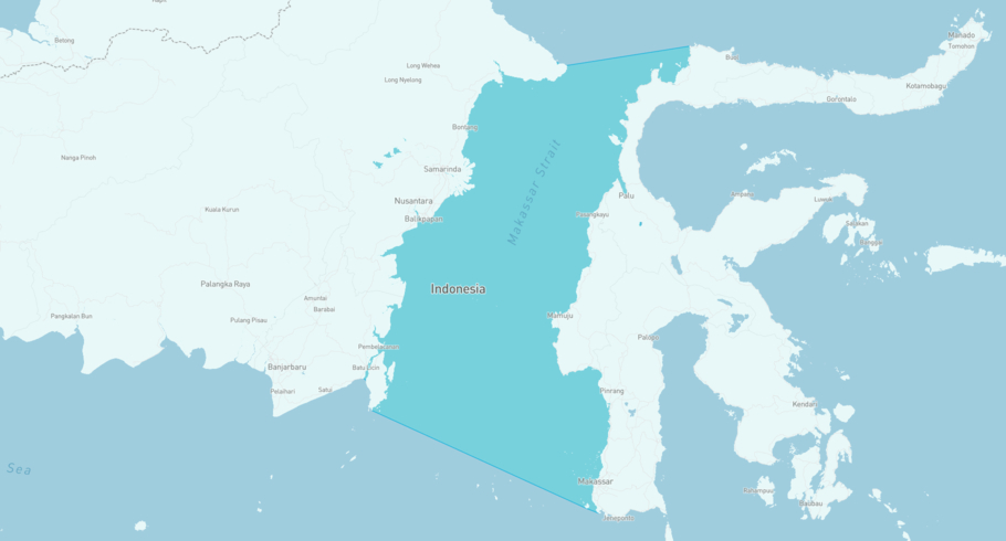
KM.MADANI NUSANTARA is currently in the Selat Makasar, based on AIS data received more than 12h ago. Track KM.MADANI NUSANTARA live using high-quality AIS by registering a free account in ShipAtlas by Maritime Optima.
Track live positionWhat type of vessel is this?
KM.MADANI NUSANTARA (IMO 8010972) is a /Ferry vessel built in 1980 and is sailing under the flag of Indonesia. She has an overall length (LOA) of 96 meters and a width (beam) of 14 meters. Her summer deadweight capacity is 2,517 tonnes.
Current voyage information
Register for free to view live position, current speed, draft, course and navigational status.
Last port calls
| Port name | Arrival time | Departure time |
|---|---|---|
|
Balikpapan (id)
|
Tuesday 20th January | Monday 2nd February |
|
Balikpapan (id)
|
Saturday 13th December | Saturday 17th January |
|
Balikpapan (id)
|
Tuesday 11th November | Saturday 22nd November |
Frequently asked questions
Where is KM.MADANI NUSANTARA right now?
The current position of KM.MADANI NUSANTARA in the the Selat Makasar, last seen more than 12h ago.
What type of vessel is KM.MADANI NUSANTARA?
KM.MADANI NUSANTARA is a classified as a Ferry.
How big is KM.MADANI NUSANTARA?
KM.MADANI NUSANTARA is 96 meters long (LOA) and 14 meters wide (beam).
Vessel details
| Name | KM.MADANI NUSANTARA |
| Vessel type | / Ferry |
| IMO | 8010972 |
| MMSI | 525002089 |
| Callsign | YGSL |
| Flag | Indonesia |
| Year built | 1980 |
| Deadweight (DWT) | 2,517 tonnes |
| Length overall (LOA) | 96 meters |
| Width (beam) | 14 meters |


