
KPS RAUF BEY
Oil service / Power station, IMO 7925522
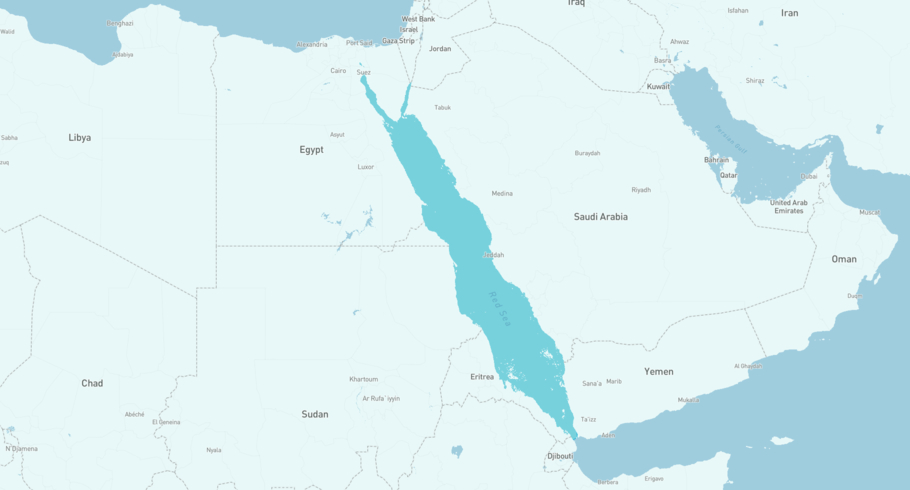
Where is the vessel?
KPS RAUF BEY is currently in the Red Sea, based on AIS data received more than 12h ago. Track KPS RAUF BEY live using high-quality AIS by registering a free account in ShipAtlas by Maritime Optima.
Track live positionWhat type of vessel is this?
KPS RAUF BEY (IMO 7925522) is a Oil service/Power station vessel built in 1982 and is sailing under the flag of Liberia. She has an overall length (LOA) of 248 meters and a width (beam) of 32 meters. Her summer deadweight capacity is 75,485 tonnes.
Current voyage information
Register for free to view live position, current speed, draft, course and navigational status.
Last port calls
| Port name | Arrival time | Departure time |
|---|---|---|
 Marsa Bashayer (sd)
|
Thursday 18th June | Friday 19th June |
|
Marsa Bashayer (sd)
|
Sunday 31st May | Monday 8th June |
|
Marsa Bashayer (sd)
|
Wednesday 27th May | Wednesday 27th May |
Frequently asked questions
Where is KPS RAUF BEY right now?
The current position of KPS RAUF BEY in the the Red Sea, last seen more than 12h ago.
What type of vessel is KPS RAUF BEY?
KPS RAUF BEY is a Oil service classified as a Power station.
How big is KPS RAUF BEY?
KPS RAUF BEY is 248 meters long (LOA) and 32 meters wide (beam).
Vessel details
| Name | KPS RAUF BEY |
| Vessel type | Oil service / Power station |
| IMO | 7925522 |
| MMSI | 636020248 |
| Callsign | D5YI4 |
| Flag | Liberia |
| Year built | 1982 |
| Draft (summer) | 13.6 meters |
| Deadweight (DWT) | 75,485 tonnes |
| Length overall (LOA) | 248 meters |
| Width (beam) | 32 meters |


