
ELOBEY VII
/ Ferry, IMO 7924413
Where is the ship?
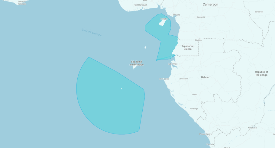
ELOBEY VII is currently in the Equatorial Guinean Exclusive Economic Zone, based on AIS data received 1h ago. Track ELOBEY VII live using high-quality AIS by registering a free account in ShipAtlas by Maritime Optima.
Track live positionWhat type of ship is this?
ELOBEY VII (IMO 7924413) is a /Ferry ship built in 1980 and is sailing under the flag of Equatorial Guinea. She has an overall length (LOA) of 58 meters and a width (beam) of 14 meters. Her summer deadweight capacity is 200 tonnes.
Current voyage information

Register for free to view live position, current speed, draft, course and navigational status.
Last port calls
| Port name | Arrival time | Departure time |
|---|---|---|
|
Malabo (gq)
|
Saturday 3rd May | Friday 9th January |
|
Bata (gq)
|
Friday 2nd May | Friday 2nd May |
|
Malabo (gq)
|
Wednesday 16th April | Friday 2nd May |
Frequently asked questions
Where is ELOBEY VII right now?
The current position of ELOBEY VII in the the Equatorial Guinean Exclusive Economic Zone, last seen 1h ago.
What type of ship is ELOBEY VII?
ELOBEY VII is a classified as a Ferry.
How big is ELOBEY VII?
ELOBEY VII is 58 meters long (LOA) and 14 meters wide (beam).
Vessel details
| Name | ELOBEY VII |
| Vessel type | / Ferry |
| IMO | 7924413 |
| MMSI | 631016100 |
| Callsign | 3CABH |
| Flag | Equatorial Guinea |
| Year built | 1980 |
| Deadweight (DWT) | 200 tonnes |
| Length overall (LOA) | 58 meters |
| Width (beam) | 14 meters |


