
AL BARAKA
/ Fishing, IMO 7705051
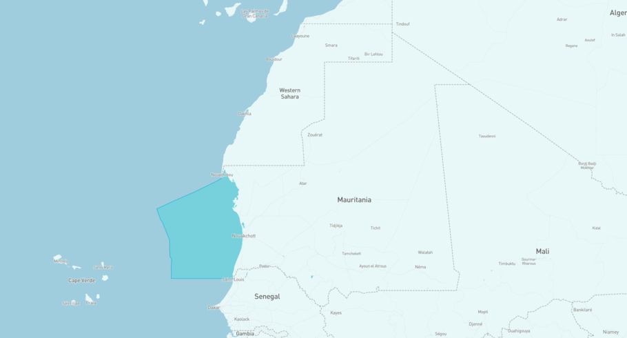
Where is the vessel?
AL BARAKA is currently in the Mauritanian Exclusive Economic Zone, based on AIS data received less than 1h ago. Track AL BARAKA live using high-quality AIS by registering a free account in ShipAtlas by Maritime Optima.
Track live positionWhat type of vessel is this?
AL BARAKA (IMO 7705051) is a /Fishing vessel built in 1981 and is sailing under the flag of Oman. She has an overall length (LOA) of 77 meters and a width (beam) of 14 meters. Her summer deadweight capacity is 2,220 tonnes.
Current voyage information


Register for free to view live position, current speed, draft, course and navigational status.
Last port calls
| Port name | Arrival time | Departure time |
|---|---|---|
|
Nouakchott (mr)
|
Monday 25th May | Friday 19th June |
|
Nouadhibou (mr)
|
Saturday 23rd May | Sunday 24th May |
|
Nouakchott (mr)
|
Tuesday 19th May | Friday 22nd May |
Frequently asked questions
Where is AL BARAKA right now?
The current position of AL BARAKA in the the Mauritanian Exclusive Economic Zone, last seen less than 1h ago.
What type of vessel is AL BARAKA?
AL BARAKA is a classified as a Fishing.
How big is AL BARAKA?
AL BARAKA is 77 meters long (LOA) and 14 meters wide (beam).
Vessel details
| Name | AL BARAKA |
| Vessel type | / Fishing |
| IMO | 7705051 |
| MMSI | 461000160 |
| Callsign | A4DE7 |
| Flag | Oman |
| Year built | 1981 |
| Deadweight (DWT) | 2,220 tonnes |
| Length overall (LOA) | 77 meters |
| Width (beam) | 14 meters |


