
MV STRONG TOWER
/ Tug, IMO 7210501
Where is the vessel?
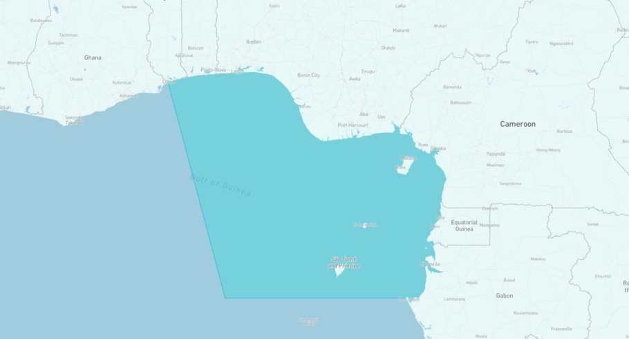
MV STRONG TOWER is currently in the Gulf of Guinea, based on AIS data received more than 12h ago. Track MV STRONG TOWER live using high-quality AIS by registering a free account in ShipAtlas by Maritime Optima.
Track live positionWhat type of vessel is this?
MV STRONG TOWER (IMO 7210501) is a /Tug vessel built in 1971 and is sailing under the flag of Nigeria. She has an overall length (LOA) of 2 meters and a width (beam) of 2 meters. Her summer deadweight capacity is unknown.
Current voyage information
Register for free to view live position, current speed, draft, course and navigational status.
Last port calls
| Port name | Arrival time | Departure time |
|---|---|---|
|
Bonny (ng)
|
Thursday 23rd April | Wednesday 29th April |
|
Port Harcourt (ng)
|
Sunday 1st March | Monday 2nd March |
|
Bonny (ng)
|
Thursday 12th February | Friday 13th February |
Frequently asked questions
Where is MV STRONG TOWER right now?
The current position of MV STRONG TOWER in the the Gulf of Guinea, last seen more than 12h ago.
What type of vessel is MV STRONG TOWER?
MV STRONG TOWER is a classified as a Tug.
How big is MV STRONG TOWER?
MV STRONG TOWER is 2 meters long (LOA) and 2 meters wide (beam).
Vessel details
| Name | MV STRONG TOWER |
| Vessel type | / Tug |
| IMO | 7210501 |
| MMSI | 657203600 |
| Callsign | 50NY |
| Flag | Nigeria |
| Year built | 1971 |
| Length overall (LOA) | 2 meters |
| Width (beam) | 2 meters |


