
DONA TULA
/ Fishing, IMO 7114927
Where is the vessel?
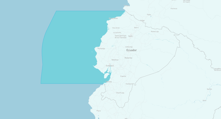
DONA TULA is currently in the Ecuadorian Exclusive Economic Zone, based on AIS data received more than 12h ago. Track DONA TULA live using high-quality AIS by registering a free account in ShipAtlas by Maritime Optima.
Track live positionWhat type of vessel is this?
DONA TULA (IMO 7114927) is a /Fishing vessel built in 1971 and is sailing under the flag of Ecuador. She has an overall length (LOA) of 48 meters and a width (beam) of 10 meters. Her summer deadweight capacity is unknown.
Current voyage information

Register for free to view live position, current speed, draft, course and navigational status.
Last port calls
| Port name | Arrival time | Departure time |
|---|---|---|
|
Manta (ec)
|
Thursday 11th December | Thursday 18th December |
|
Manta (ec)
|
Thursday 21st March | Wednesday 27th March |
|
Manta (ec)
|
Sunday 21st January | Tuesday 20th February |
Frequently asked questions
Where is DONA TULA right now?
The current position of DONA TULA in the the Ecuadorian Exclusive Economic Zone, last seen more than 12h ago.
What type of vessel is DONA TULA?
DONA TULA is a classified as a Fishing.
How big is DONA TULA?
DONA TULA is 48 meters long (LOA) and 10 meters wide (beam).
Vessel details
| Name | DONA TULA |
| Vessel type | / Fishing |
| IMO | 7114927 |
| MMSI | 735057547 |
| Callsign | HC4170 |
| Flag | Ecuador |
| Year built | 1971 |
| Length overall (LOA) | 48 meters |
| Width (beam) | 10 meters |


