
EL MORRO
/ Tug, IMO 6707064
Where is the vessel?
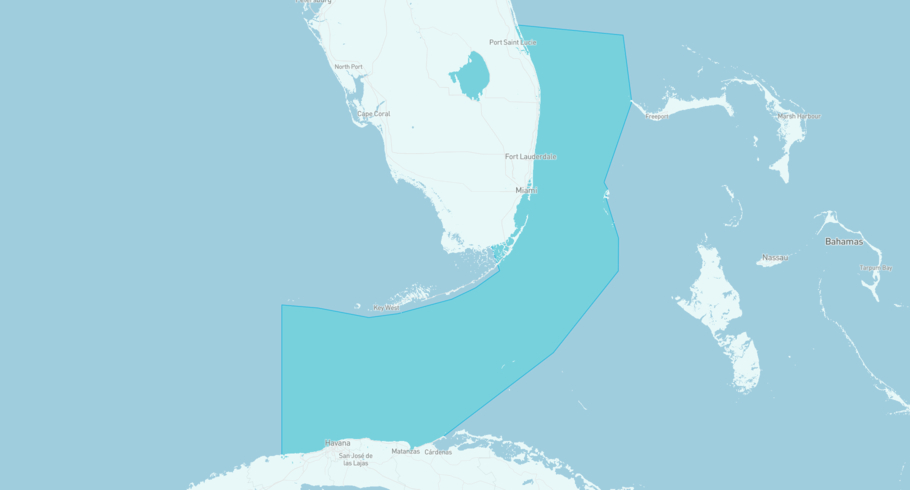
EL MORRO is currently in the Straits of Florida, based on AIS data received less than 1h ago. Track EL MORRO live using high-quality AIS by registering a free account in ShipAtlas by Maritime Optima.
Track live positionWhat type of vessel is this?
EL MORRO (IMO 6707064) is a /Tug vessel built in 1966 and is sailing under the flag of Togo. She has an overall length (LOA) of 28 meters and a width (beam) of 9 meters. Her summer deadweight capacity is unknown.
Current voyage information


Register for free to view live position, current speed, draft, course and navigational status.
Last port calls
| Port name | Arrival time | Departure time |
|---|---|---|
|
Governors Harbour (bs)
|
Friday 10th July | Sunday 12th July |
 Manzanillo (do)
|
Saturday 4th July | Saturday 4th July |
|
Puerto Plata (do)
|
Monday 29th June | Saturday 4th July |
Frequently asked questions
Where is EL MORRO right now?
The current position of EL MORRO in the the Straits of Florida, last seen less than 1h ago.
What type of vessel is EL MORRO?
EL MORRO is a classified as a Tug.
How big is EL MORRO?
EL MORRO is 28 meters long (LOA) and 9 meters wide (beam).
Vessel details
| Name | EL MORRO |
| Vessel type | / Tug |
| IMO | 6707064 |
| MMSI | 671576100 |
| Callsign | 5VJN4 |
| Flag | Togo |
| Year built | 1966 |
| Length overall (LOA) | 28 meters |
| Width (beam) | 9 meters |


