
NATO WARSHIP A834
/ Naval, IMO 4763959
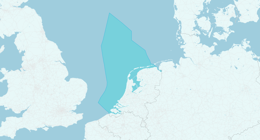
Where is the vessel?
NATO WARSHIP A834 is currently in the Dutch Exclusive Economic Zone, based on AIS data received more than 12h ago. Track NATO WARSHIP A834 live using high-quality AIS by registering a free account in ShipAtlas by Maritime Optima.
Track live positionWhat type of vessel is this?
NATO WARSHIP A834 (IMO 4763959) is a /Naval vessel built in 2025 and is sailing under the flag of Netherlands. She has an overall length (LOA) of 180 meters and a width (beam) of 27 meters. Her summer deadweight capacity is unknown.
Current voyage information
Register for free to view live position, current speed, draft, course and navigational status.
Last port calls
| Port name | Arrival time | Departure time |
|---|---|---|
 New York (us)
|
Friday 3rd July | Wednesday 8th July |
|
Norfolk (us)
|
Sunday 14th June | Wednesday 1st July |
 Ponta Delgada (pt)
|
Thursday 4th June | Saturday 6th June |
Frequently asked questions
Where is NATO WARSHIP A834 right now?
The current position of NATO WARSHIP A834 in the the Dutch Exclusive Economic Zone, last seen more than 12h ago.
What type of vessel is NATO WARSHIP A834?
NATO WARSHIP A834 is a classified as a Naval.
How big is NATO WARSHIP A834?
NATO WARSHIP A834 is 180 meters long (LOA) and 27 meters wide (beam).
Vessel details
| Name | NATO WARSHIP A834 |
| Vessel type | / Naval |
| IMO | 4763959 |
| MMSI | 244936000 |
| Callsign | PAID |
| Flag | Netherlands |
| Year built | 2025 |
| Length overall (LOA) | 180 meters |
| Width (beam) | 27 meters |


