
TABULA RASA
Other / , IMO 1197238
Where is the ship?
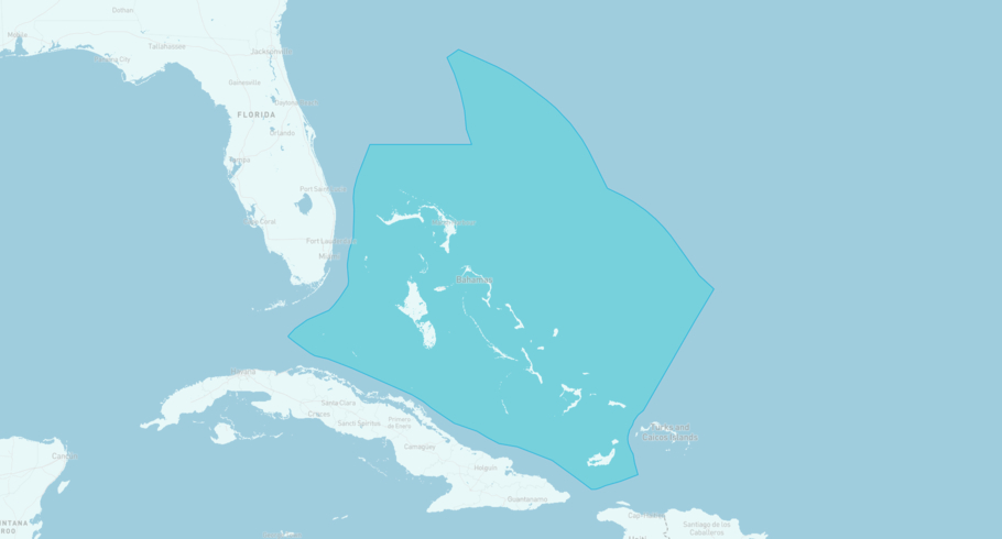
TABULA RASA is currently in the Bahamian Exclusive Economic Zone, based on AIS data received more than 12h ago. Track TABULA RASA live using high-quality AIS by registering a free account in ShipAtlas by Maritime Optima.
Track live positionWhat type of ship is this?
TABULA RASA (IMO 1197238) is a Other/ ship built in 2022 and is sailing under the flag of United States. She has an overall length (LOA) of 19 meters and a width (beam) of 6 meters. Her summer deadweight capacity is unknown.
Current voyage information


Register for free to view live position, current speed, draft, course and navigational status.
Last port calls
| Port name | Arrival time | Departure time |
|---|---|---|
|
Saint Thomas (vi)
|
Thursday 15th May | Sunday 18th May |
 Portsmouth (dm)
|
Friday 25th April | Tuesday 29th April |
|
Port Elizabeth (vc)
|
Friday 31st January | Friday 21st February |
Frequently asked questions
Where is TABULA RASA right now?
The current position of TABULA RASA in the the Bahamian Exclusive Economic Zone, last seen more than 12h ago.
What type of ship is TABULA RASA?
TABULA RASA is a Other classified as a .
How big is TABULA RASA?
TABULA RASA is 19 meters long (LOA) and 6 meters wide (beam).
Vessel details
| Name | TABULA RASA |
| Vessel type | Other / |
| IMO | 1197238 |
| MMSI | 367587040 |
| Callsign | WDG9368 |
| Flag | United States |
| Year built | 2022 |
| Length overall (LOA) | 19 meters |
| Width (beam) | 6 meters |


