
KARIMATA STRAIT
Dry bulk / Mini bulkers 3, IMO 1084388
Where is the vessel?
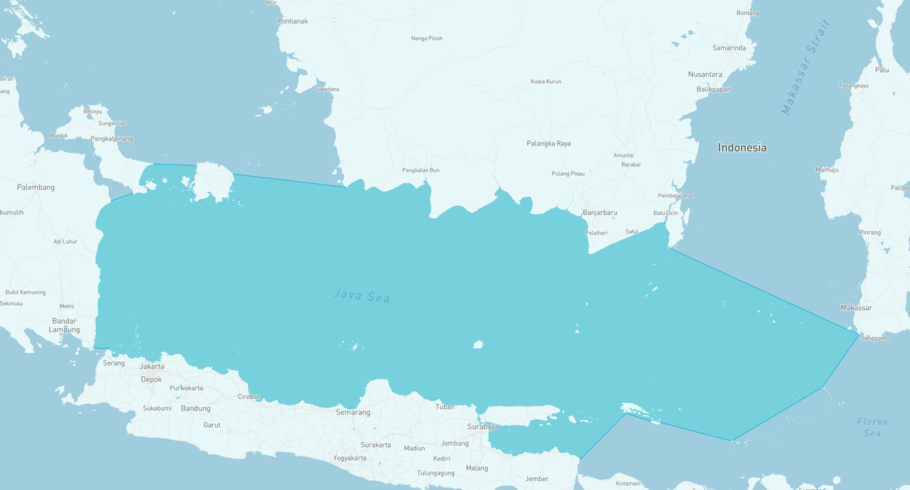
KARIMATA STRAIT is currently in the Jawa Sea, based on AIS data received 6h ago. Track KARIMATA STRAIT live using high-quality AIS by registering a free account in ShipAtlas by Maritime Optima.
Track live positionWhat type of vessel is this?
KARIMATA STRAIT (IMO 1084388) is a Dry bulk/Mini bulkers 3 vessel built in 2008 and is sailing under the flag of Indonesia. She has an overall length (LOA) of 135 meters and a width (beam) of 22 meters. Her summer deadweight capacity is 13,582 tonnes.
Current voyage information
Register for free to view live position, current speed, draft, course and navigational status.
Last port calls
| Port name | Arrival time | Departure time |
|---|---|---|
|
Tanjung Priok (id)
|
Wednesday 17th June | Saturday 20th June |
|
Semarang (id)
|
Tuesday 2nd June | Tuesday 16th June |
|
Bahodopi (id)
|
Wednesday 20th May | Friday 29th May |
Frequently asked questions
Where is KARIMATA STRAIT right now?
The current position of KARIMATA STRAIT in the the Jawa Sea, last seen 6h ago.
What type of vessel is KARIMATA STRAIT?
KARIMATA STRAIT is a Dry bulk classified as a Mini bulkers 3.
How big is KARIMATA STRAIT?
KARIMATA STRAIT is 135 meters long (LOA) and 22 meters wide (beam).
Vessel details
| Name | KARIMATA STRAIT |
| Vessel type | Dry bulk / Mini bulkers 3 |
| IMO | 1084388 |
| MMSI | 525901161 |
| Callsign | YDAS4 |
| Flag | Indonesia |
| Year built | 2008 |
| Draft (summer) | 8.3 meters |
| Deadweight (DWT) | 13,582 tonnes |
| Length overall (LOA) | 135 meters |
| Width (beam) | 22 meters |


