
OCEAN EAST
Dry bulk / Ultramax, IMO 1081984
Where is the vessel?
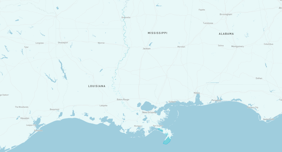
OCEAN EAST is currently in the Mississippi River, based on AIS data received less than 1h ago. Track OCEAN EAST live using high-quality AIS by registering a free account in ShipAtlas by Maritime Optima.
Track live positionWhat type of vessel is this?
OCEAN EAST (IMO 1081984) is a Dry bulk/Ultramax vessel built in 2026 and is sailing under the flag of Marshall Islands. She has an overall length (LOA) of 199 meters and a width (beam) of 32 meters. Her summer deadweight capacity is 64,654 tonnes.
Current voyage information


Register for free to view live position, current speed, draft, course and navigational status.
Last port calls
| Port name | Arrival time | Departure time |
|---|---|---|
|
Waggaman (us)
|
Wednesday 24th June | Friday 26th June |
|
Ama (us)
|
Saturday 13th June | Wednesday 24th June |
|
Tampa (us)
|
Wednesday 10th June | Friday 12th June |
Frequently asked questions
Where is OCEAN EAST right now?
The current position of OCEAN EAST in the the Mississippi River, last seen less than 1h ago.
What type of vessel is OCEAN EAST?
OCEAN EAST is a Dry bulk classified as a Ultramax.
How big is OCEAN EAST?
OCEAN EAST is 199 meters long (LOA) and 32 meters wide (beam).
Vessel details
| Name | OCEAN EAST |
| Vessel type | Dry bulk / Ultramax |
| IMO | 1081984 |
| MMSI | 538012140 |
| Callsign | V7A4027 |
| Flag | Marshall Islands |
| Year built | 2026 |
| Draft (summer) | 13 meters |
| Deadweight (DWT) | 64,654 tonnes |
| Length overall (LOA) | 199 meters |
| Width (beam) | 32 meters |


