
DUBAI EARTH
Dry bulk / Ultramax, IMO 1043671
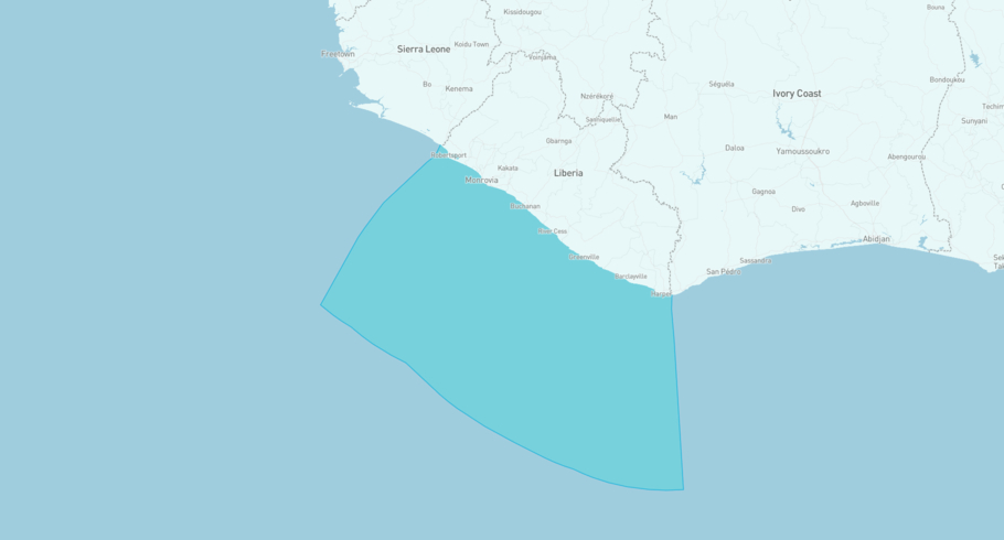
Where is the vessel?
DUBAI EARTH is currently in the Liberian Exclusive Economic Zone, based on AIS data received less than 1h ago. Track DUBAI EARTH live using high-quality AIS by registering a free account in ShipAtlas by Maritime Optima.
Track live positionWhat type of vessel is this?
DUBAI EARTH (IMO 1043671) is a Dry bulk/Ultramax vessel built in 2025 and is sailing under the flag of Marshall Islands. She has an overall length (LOA) of 199 meters and a width (beam) of 32 meters. Her summer deadweight capacity is 64,410 tonnes.
Current voyage information


Register for free to view live position, current speed, draft, course and navigational status.
Last port calls
| Port name | Arrival time | Departure time |
|---|---|---|
|
Douala (cm)
|
Saturday 11th April | Friday 24th April |
 Singapore (sg)
|
Sunday 15th March | Sunday 15th March |
 Lianyungang (cn)
|
Monday 23rd February | Friday 6th March |
Frequently asked questions
Where is DUBAI EARTH right now?
The current position of DUBAI EARTH in the the Liberian Exclusive Economic Zone, last seen less than 1h ago.
What type of vessel is DUBAI EARTH?
DUBAI EARTH is a Dry bulk classified as a Ultramax.
How big is DUBAI EARTH?
DUBAI EARTH is 199 meters long (LOA) and 32 meters wide (beam).
Vessel details
| Name | DUBAI EARTH |
| Vessel type | Dry bulk / Ultramax |
| IMO | 1043671 |
| MMSI | 538011581 |
| Callsign | V7A3158 |
| Flag | Marshall Islands |
| Year built | 2025 |
| Draft (summer) | 13 meters |
| Deadweight (DWT) | 64,410 tonnes |
| Length overall (LOA) | 199 meters |
| Width (beam) | 32 meters |


