
CHEMROAD KAIA
Tanker / Handy, IMO 1037684
Where is the vessel?
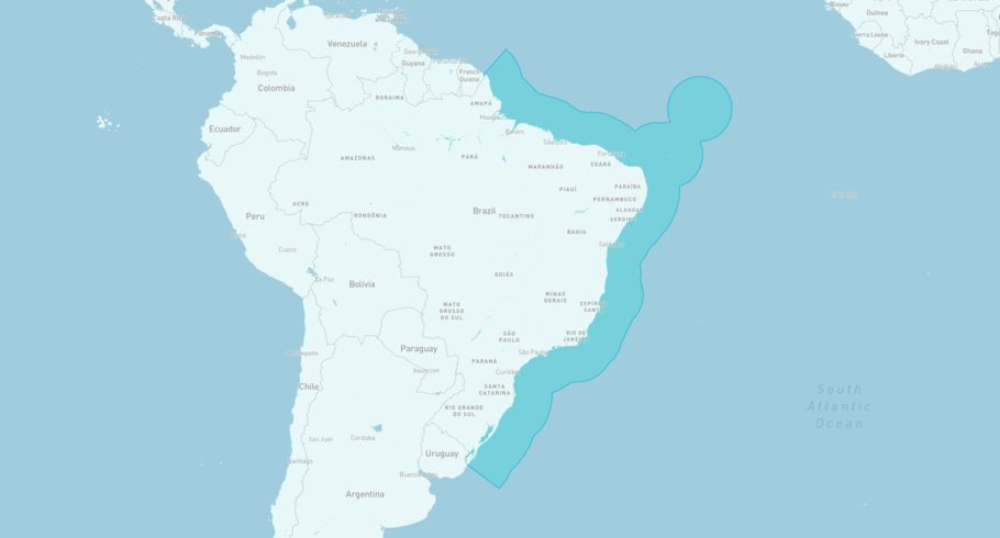
CHEMROAD KAIA is currently in the Brazilian Exclusive Economic Zone, based on AIS data received less than 1h ago. Track CHEMROAD KAIA live using high-quality AIS by registering a free account in ShipAtlas by Maritime Optima.
Track live positionWhat type of vessel is this?
CHEMROAD KAIA (IMO 1037684) is a Tanker/Handy vessel built in 2025 and is sailing under the flag of Liberia. She has an overall length (LOA) of 172 meters and a width (beam) of 28 meters. Her summer deadweight capacity is 35,769 tonnes.
Current voyage information


Register for free to view live position, current speed, draft, course and navigational status.
Last port calls
| Port name | Arrival time | Departure time |
|---|---|---|
|
Plaquemine (us)
|
Monday 8th June | Saturday 13th June |
 Come By Chance (ca)
|
Tuesday 26th May | Friday 29th May |
 Panama Canal (pa)
|
Wednesday 13th May | Friday 15th May |
Frequently asked questions
Where is CHEMROAD KAIA right now?
The current position of CHEMROAD KAIA in the the Brazilian Exclusive Economic Zone, last seen less than 1h ago.
What type of vessel is CHEMROAD KAIA?
CHEMROAD KAIA is a Tanker classified as a Handy.
How big is CHEMROAD KAIA?
CHEMROAD KAIA is 172 meters long (LOA) and 28 meters wide (beam).
Vessel details
| Name | CHEMROAD KAIA |
| Vessel type | Tanker / Handy |
| IMO | 1037684 |
| MMSI | 636025408 |
| Callsign | 5LXH6 |
| Flag | Liberia |
| Year built | 2025 |
| Draft (summer) | 9 meters |
| Deadweight (DWT) | 35,769 tonnes |
| Length overall (LOA) | 172 meters |
| Width (beam) | 28 meters |


