
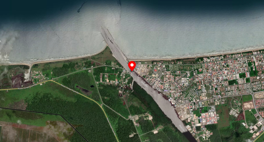
Kuala Belait
Brunei Darussalam / Kuala Belait
Kuala Belait is located in Brunei Darussalam. The local time at Kuala Belait is 14:32. The wind in the port blows at 3 m/s. The humidity is 70% and the temperature is 29°. There are currently 6 vessels in port and 32 vessels recently departed. The number of terminals in Kuala Belait is 0 and the number of berths is 0.
Track the live port traffic in Kuala Belait with AIS data from satellites, terrestrial and dynamic AIS sources by registering a free account in ShipAtlas by Maritime Optima.
Track live port trafficVessels in port
| Vessel name | Segment | Arrived at |
|---|---|---|
| SW ARIA | Standby Safety Vessel | Tue, 28 Jul 2026 18:26:27 UTC |
| GREEN BELAIT | Pollution Control Vessel | Thu, 30 Jul 2026 08:55:00 UTC |
| PTAS AMANAH 8 | Offshore Tug/Supply Ship | Thu, 30 Jul 2026 01:23:15 UTC |
| AVISA SUPPORTER | Offshore Tug/Supply Ship | Mon, 20 Jul 2026 14:45:16 UTC |
| AVISA SOLVER | Utility Vessel | Wed, 25 Mar 2026 01:05:15 UTC |
| MUQATIL | Mooring Vessel | Thu, 30 Jul 2026 08:37:50 UTC |
Frequently asked questions
Which country is Kuala Belait in?
Kuala Belait is located in Brunei Darussalam. The official UN/LOCODE of this port is BNKUB.
How many vessels are in Kuala Belait port?
There are currently 6 vessels in port and 32 vessels recently departed.
What is the current weather in Kuala Belait port?
The wind in the port blows at 3 m/s. The humidity is 70% and the temperature is 29°C.
Port details
| Name | Kuala Belait |
| Country | Brunei Darussalam |
| Location code | BNKUB |
| Terminals | 0 |
| Berths | 0 |
| Vessels in port | 6 |
| Recently departed vessels | 32 |


