
Panjang
Indonesia / Panjang
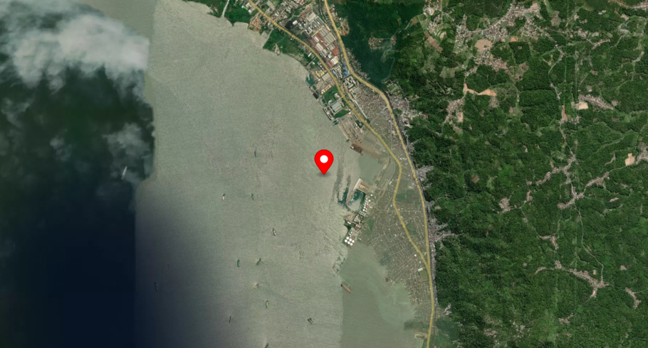
Panjang is located in Indonesia. The local time at Panjang is 23:48. The wind in the port blows at 2 m/s. The humidity is 89% and the temperature is 23°. There are currently 14 vessels in port and 20 vessels recently departed. The number of terminals in Panjang is 1 and the number of berths is 1.
Track the live port traffic in Panjang with AIS data from satellites, terrestrial and dynamic AIS sources by registering a free account in ShipAtlas by Maritime Optima.
Track live port trafficVessels in port
| Vessel name | Segment | Arrived at |
|---|---|---|
| DIKEFALOS S | Bulk Carrier | Thu, 16 Jul 2026 20:46:07 UTC |
| MUMBAI | Chemical/Oil Products Tanker | Sat, 18 Jul 2026 02:20:42 UTC |
| PAC ALNATH | General Cargo Ship | Tue, 21 Jul 2026 00:39:01 UTC |
| MT PAGERUNGAN | Oil Products Tanker | Thu, 16 Jul 2026 23:09:13 UTC |
| MT.ALISHA | Chemical/Oil Products Tanker | Tue, 21 Jul 2026 00:30:28 UTC |
| KRI RHF-391 | Naval Vessel | Tue, 14 Jul 2026 04:00:59 UTC |
| KRI LUKAS RUMKOREM | Naval Vessel | Tue, 09 Dec 2025 09:13:28 UTC |
| MT CISM 02 | Oil Products Tanker | Tue, 21 Jul 2026 10:31:57 UTC |
| SRI KANDI 512 | Oil Products Tanker | Sat, 18 Jul 2026 15:24:50 UTC |
| KT.KATELIA.5 | Tug | Sun, 19 Jul 2026 09:10:44 UTC |
Frequently asked questions
Which country is Panjang in?
Panjang is located in Indonesia. The official UN/LOCODE of this port is IDPNJ.
How many vessels are in Panjang port?
There are currently 14 vessels in port and 20 vessels recently departed.
What is the current weather in Panjang port?
The wind in the port blows at 2 m/s. The humidity is 89% and the temperature is 23°C.
Port details
| Name | Panjang |
| Country | Indonesia |
| Location code | IDPNJ |
| Terminals | 1 |
| Berths | 1 |
| Vessels in port | 14 |
| Recently departed vessels | 20 |


