
BAHADOR110
/ Tug, IMO 9508782
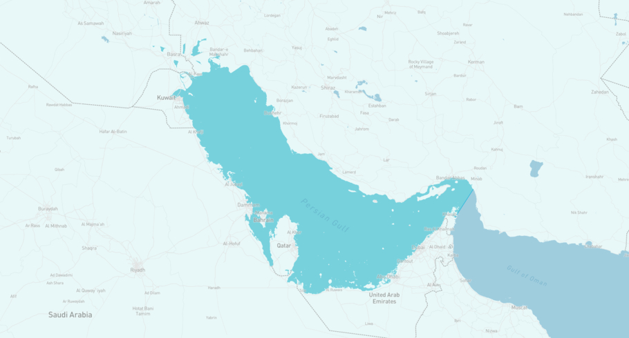
Where is the ship?
BAHADOR110 is currently in the Arabian Gulf, based on AIS data received more than 12h ago. Track BAHADOR110 live using high-quality AIS by registering a free account in ShipAtlas by Maritime Optima.
Track live positionWhat type of ship is this?
BAHADOR110 (IMO 9508782) is a /Tug ship built in 2008 and is sailing under the flag of Iran. She has an overall length (LOA) of 32 meters and a width (beam) of 10 meters. Her summer deadweight capacity is unknown.
Current voyage information

Register for free to view live position, current speed, draft, course and navigational status.
Last port calls
| Port name | Arrival time | Departure time |
|---|---|---|
|
Khark Island (ir)
|
Saturday 25th October | Tuesday 28th October |
|
Asaluyeh (ir)
|
Friday 18th July | Friday 24th October |
 Al-Suwaiq (om)
|
Tuesday 8th July | Monday 14th July |
Frequently asked questions
Where is BAHADOR110 right now?
The current position of BAHADOR110 in the the Arabian Gulf, last seen more than 12h ago.
What type of ship is BAHADOR110?
BAHADOR110 is a classified as a Tug.
How big is BAHADOR110?
BAHADOR110 is 32 meters long (LOA) and 10 meters wide (beam).
Vessel details
| Name | BAHADOR110 |
| Vessel type | / Tug |
| IMO | 9508782 |
| MMSI | 422767000 |
| Callsign | 9BRM |
| Flag | Iran |
| Year built | 2008 |
| Length overall (LOA) | 32 meters |
| Width (beam) | 10 meters |


